Drought is a result of extreme negative rainfall anomalies. Drought management strategies in vulnerable regions involve reduction of drought risk and targeting resources by better understanding the spatial and temporal variability of drought proneness. Drought hazard profile was developed by combining rainfall and evapotranspiration related indices derived from yearly and monthly data series. 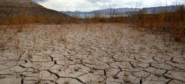
The drought hazard profile is helpful in formulating climatic zone based management strategies and plan activities to mitigate drought impacts.
Application of drought profile may include sustainable land and water use practices combined with early warnings, drought relief and insurance, etc. Inputs of scientists in soil-water-plant related policy interventions is also critical. The future population growth along with anticipated rapid development will add more pressure to water resources in all climatic zones, therefore important, beyond the level of water demand considered in the assessment.
National Profile
|
Parameters |
Scale |
||||
|
1 |
2 |
3 |
4 |
5 |
|
|
Frequency |
Very Rarely |
Rarely |
Sometimes |
Often |
Frequently |
|
Magnitude |
Trivial |
Small |
Moderate |
Large |
Very Large |
|
Duration |
Very Short |
Short |
Average |
Long |
Very Long |
|
Areal Extent |
Limited |
Very Sparsely |
Sparsely |
Densely |
Widespread |
|
Spatial Predictability |
Highly Predictable |
Predictable |
Likely |
Randomly |
Very Randomly |
|
Speed of onset |
Very Slow |
Slow |
Moderate |
Fast |
Very Fast |
|
Importance |
Not Important |
Somewhat Important |
Moderately |
Important |
Very Important |
|
Spatial Dispersion |
Very Concentrated |
Concentrated Moderately |
Moderately |
Diffused |
Widely Diffused |
District Profile
|
Area/District |
Frequency Scale |
Magnitude Scale |
||||||||
|
1 |
2 |
3 |
4 |
5 |
1 |
2 |
3 |
4 |
5 |
|
|
Western Area |
|
|
|
|
|
|
|
|
|
|
|
Bo |
|
|
|
|
|
|
|
|
|
|
|
Bonthe |
|
|
|
|
|
|
|
|
|
|
|
Moyamba |
|
|
|
|
|
|
|
|
|
|
|
Pujehun |
|
|
|
|
|
|
|
|
|
|
|
Bombali |
|
|
|
|
|
|
|
|
|
|
|
Port Loko |
|
|
|
|
|
|
|
|
|
|
|
Tonkolili |
|
|
|
|
|
|
|
|
|
|
|
Kambia |
|
|
|
|
|
|
|
|
|
|
|
Koinadugu |
|
|
|
|
|
|
|
|
|
|
|
Kenema |
|
|
|
|
|
|
|
|
|
|
|
Kono |
|
|
|
|
|
|
|
|
|
|
|
Kailahun |
|
|
|
|
|
|
|
|
|
|